I was about to go kayaking on Long Island’s Nissequogue River eight years ago when I met a middle-aged couple gifted in the art of discovery. The two were eager to show me their marked-up and laminated map of New York state and walked me through their summer plans—which, as it turned out, involved journeying from one swimming hole to the next.
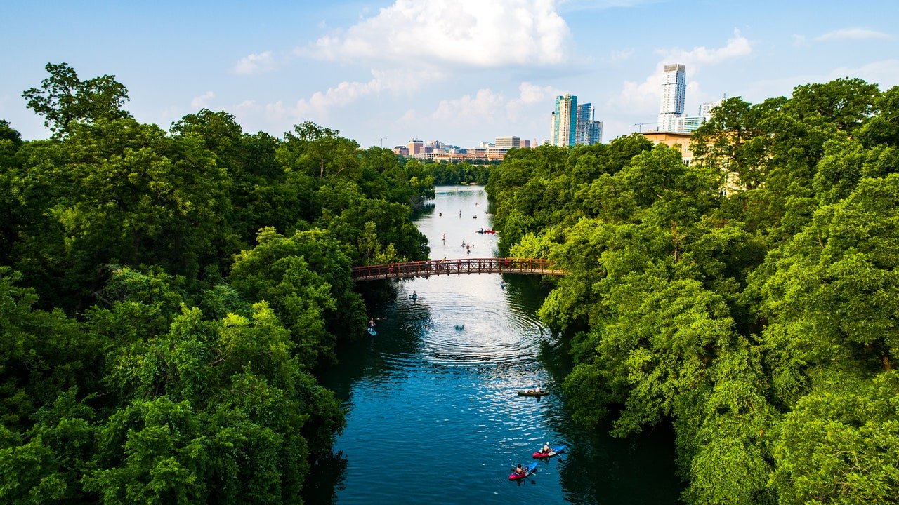
There is an an allure to the seclusion of these aquatic sanctuaries, a unique sense of escape that takes wild swimming to a whole new level. Even when revealing the lengths of your itinerary with a stranger on a kayak rental line, swimming holes remain a haven of enchantment for the off-the-beaten track adventurer.
From lush ocean enclaves to sweet suburban ponds, water has always been an integral part of my life, especially when traveling. But it wasn’t until this chance encounter that I discovered the magic of marking nature’s pools like treasure on a map. Different from your average beach day, each X marks the spot that signifies water as gold, a reward for the journey it takes to get there. Whether it’s a steep mountain hike to a waterfall, or a soft and steady windy trail that takes you there, the sweet relief of taking a cool dip awaits.
Following the couple’s footsteps, I began creating my very own map of swimming holes right outside of New York City. In my research, I stumbled upon a simple but charming interactive map that pinpointed these sites throughout the US. A tremendous resource guide for me at the birth of my fascination with swimming holes, the site is still my right hand—and eventually launched as mobile and web app Outly.
Excursion number one set the tone: A weekend trip from New York, around 90 miles north to Minnewaska State Park. It was my first outing as a sort of metropolitan Indiana Jones—I began my voyage via the Adirondack Trailways. I was drawn to the park both due to my familiarity with the New Paltz area and the site’s flexibility. I highlighted a handful of trails on my map and made an on-the-fly decision of which to trek to once I arrived.
A friend who lived close to the station gave me a ride up swirling mountain roads to arrive at rocky and green trails. Despite ranges in difficulty, the trails were interconnected and extremely easy to navigate. I found this to be true of the majority of the US trails on journeys since. More often than not, if you can spot a park ranger beforehand, they’ll let you in on the site’s inside scoop. I’ve gleaned some of the best insights during these conversations, from the prettiest spots for flower-picking to their favorite paths to avoid traffic along the way.
While swimming holes render this energy of everlasting seclusion, destinations like the Hudson Valley in the summer are not exactly exclusive. When hiking, I found that you can avoid the crowd by trekking early, at the cusp of sunrise. My Minnewaska trip was on a breezier weekend in the beginning of June—and they are one of the few parks that open their gates on the later side at 9 am. Large groups geared up in the parking lot, but like most sites with many trails, crowds tend to disperse in the vastness of the mountain itself.